2009年4月28日星期二

1. Are there geographical regions in China or Korea? Explain in 3-5 sentences.

Plateau,Hills,Plain,Basin and Mountains.Qing zang Plateau is the highest Plateau in the world.North China Plain is the most important place in China.Qaidam Basin is too hot to live.But it's a large suaeda.


2. Post 3 pictures of China's or Korea's regional geography. It can be photographs. Explain each picture in 5-8 sentences.


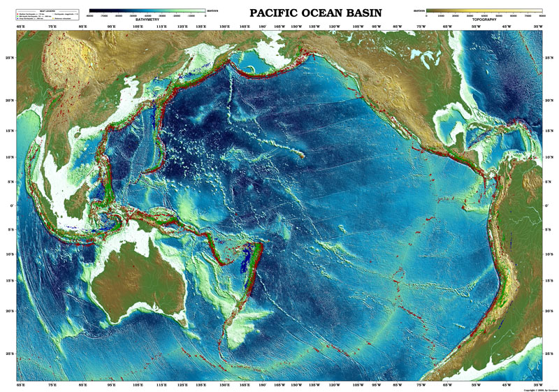
This is North China Plain.Terrain is flat.And the cities are near by the Pacific Ocean.China's capital Beijing is in there.The traffic is facilitate. It good for business.


It's the picture of Tibet Plateau.There are some white where nival because it's too cold to let snow melting.Under the Tibet Plateau is Mountain Everest.


Just yellow.It means only the desert and desert.Everwhere is sand.There is short of water and plants.The environment is terrible.


3. What have you learned about regions so far? Explain in 5-8 sentences.
I know many kinds of regions.The continent,the ocean,the gobi,the desert and the mountain.The continent is a very large area of land.The ocean is bigger than sea.The gobi is a special desert.The desert is made of sand.The mountain is the mountains,the hills and the vallies.

2009年4月27日星期一

1a. Translate ocean into Chinese or Korean.

ocean:海洋


1b. Which Canadian province is closest to the Pacific Ocean?

The British Columbia.


1c. Which Canadian provinces is closest to the Atlantic Ocean?

The Newfoundland.


2. Find a picture of the Pacific Ocean you like. Explain why you like it in 3-5 sentences.


This map is good to find Continental Shelf or Trench.It can tell us how high the mountain and how low the basin.The other reason is this map's perspective is large,so i can see many many continents and the others ocean.It aslo can tell us lots of information about the earth.


3. Find a picture of the Atlantic Ocean you like. Explain why you like it.in 3-5 sentences.


This picture is realy amazing.It not only a map but also a art.It's uneven.I can see the mountian. And i can find some small waves.It's realy beautiful.


4. Why would the Interior Plains region's climate be affected by the ocean. What does the ocean do for the climate? Explain in 5-8 sentences. Look at your past lesson.

Because the oceans' thermal volume is more than the continents.So the temperature of the oceans is always diffirent with continents.When the sea breeze coming,it will meet the continent thermal collision.This is Monsoon.

It can have a temperature difference between the four seasons, but rainfall.


5. What continent is the Interior Plains region on? Explain in 5-8 sentences.

Eastern European Plain, the West Siberian Plain in Asia, South America, the Amazon and La Plata Plain Plain, the Great Plains and North America.

6. Where is the Interior Plains region on this continent? What provinces are in this region?

Rocky Mountain west, east of the Mississippi River.The Yellowknife and the Winnipeg.


7. What did you learn today?

I knew lots of geographical knowledge.That is realy practical.I found many Interior Plains and oceans.Of course i learned many many words about geography.

2009年4月26日星期日

REMEMBER TO USE COMPLETE SENTENCES TO ANSWER THE QUESTIONS
After learning about the topography of this region, we are going to look at the climate and vegetation of this region.
The climate of the Interior Plains is a continental climate. This means the temperature of this region is affected by this region's location in the heart or center of the continent.

1. What is a continent? Find a picture of a continent. Post it here. Explain in 3-5 sentences what you see.

continent:A continent is a very large area of land, such as Africa or Asia, that consists of several countries.


It's the Africans' map.And i see about fifty countries.Many countries is very small that we can't found it.The interesting is some countries' edges is right angle.I also can see some of the islands in the lower left-hand corner.
2. Find a map of all the continents in the world. Post it here. Explain what you see in 3-5
sentences.


I can see eight continents.The smallest is Australia,in contrast, the largest in Asia.There're less
continental seas.And we can see the edge of the Eastern Hemisphere and in line with the edge of the Western Hemisphere.Antarctica where is white means that all the snow.
3. Can you list some continents in the world? Write as many as you can find.
There're seven continents in the world.Asia Europe Africa,South America,North America,Oceania and Antarctica.
Since this region is in the center of the continent, it is far from the ocean. The ocean helps to keep a moderate climate. Without it, this region has a climate of extremes. It has long, hot summers and cold winters.
4. Translate the word "extreme" into Chinese or Korean.
extreme:It has two meanings.
The noun meaning:极点、极端、极度。
The verb meaning:极端、临界、偏激、绝。
5. What did you learn today? How does this connect to the last lesson? Explain in 5-8 sentences.
I knew that there are seven continents in the world.I aslo found the Asia where i living.Sorry Ms. Chan didn't in the school when the lesson has been to the end.